Newnan LINC Model Project
Newnan, Georgia
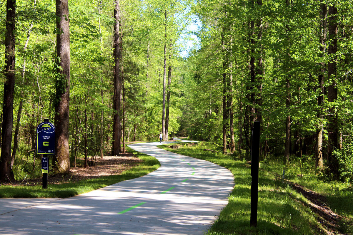
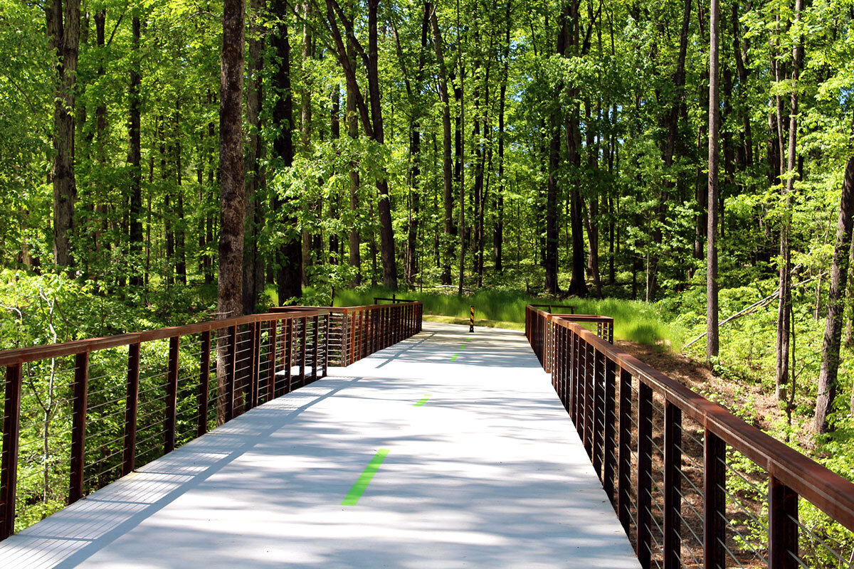
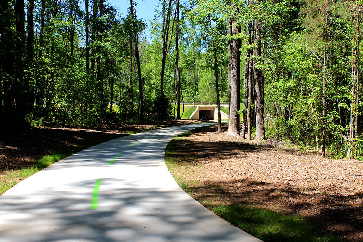
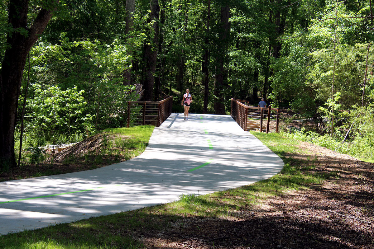
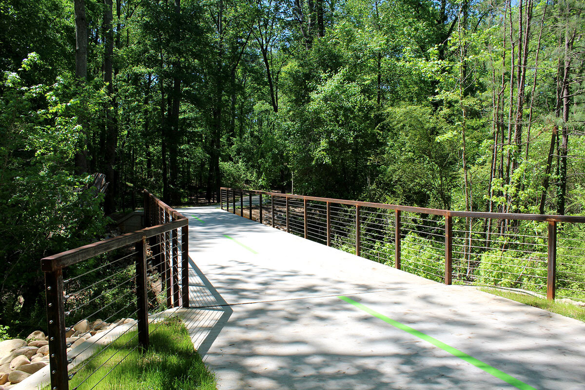
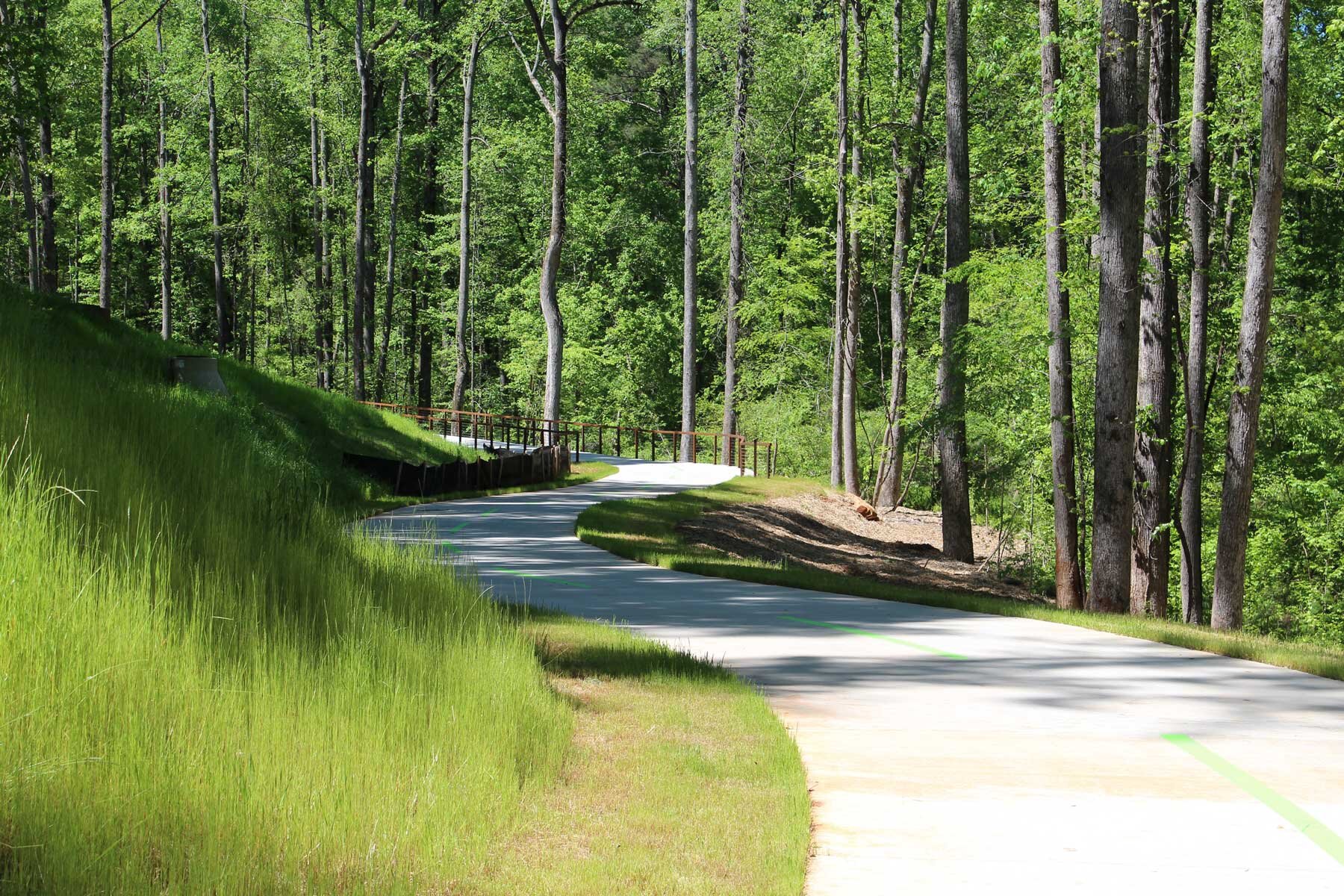
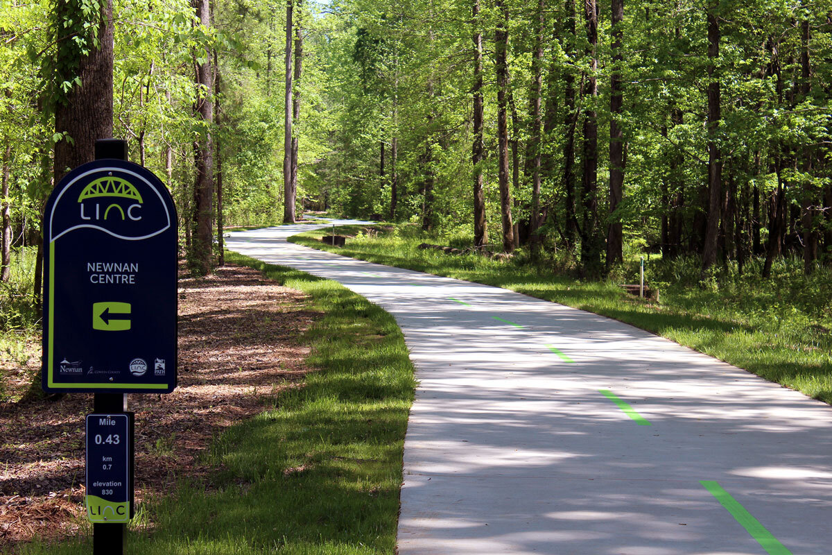
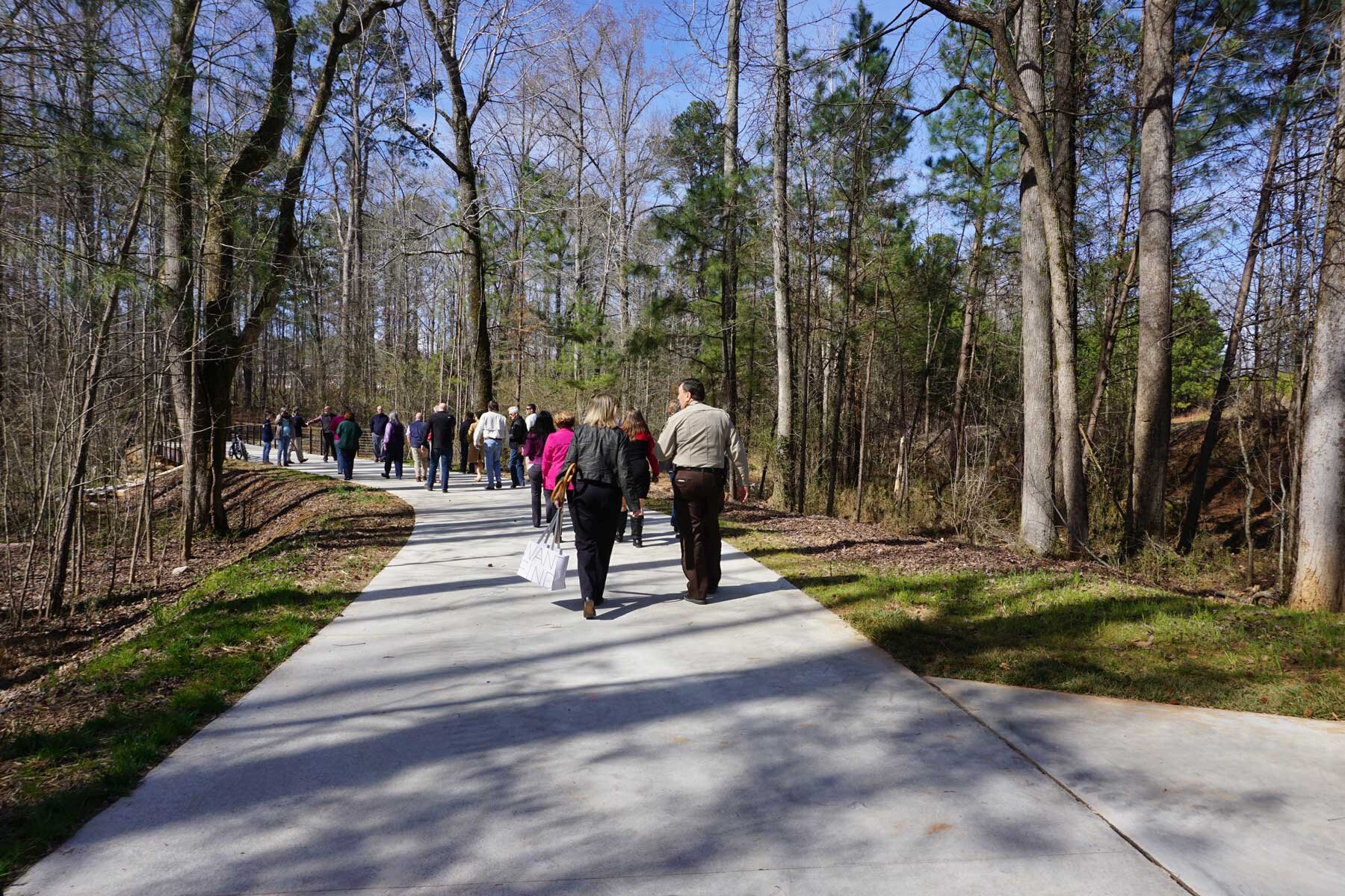
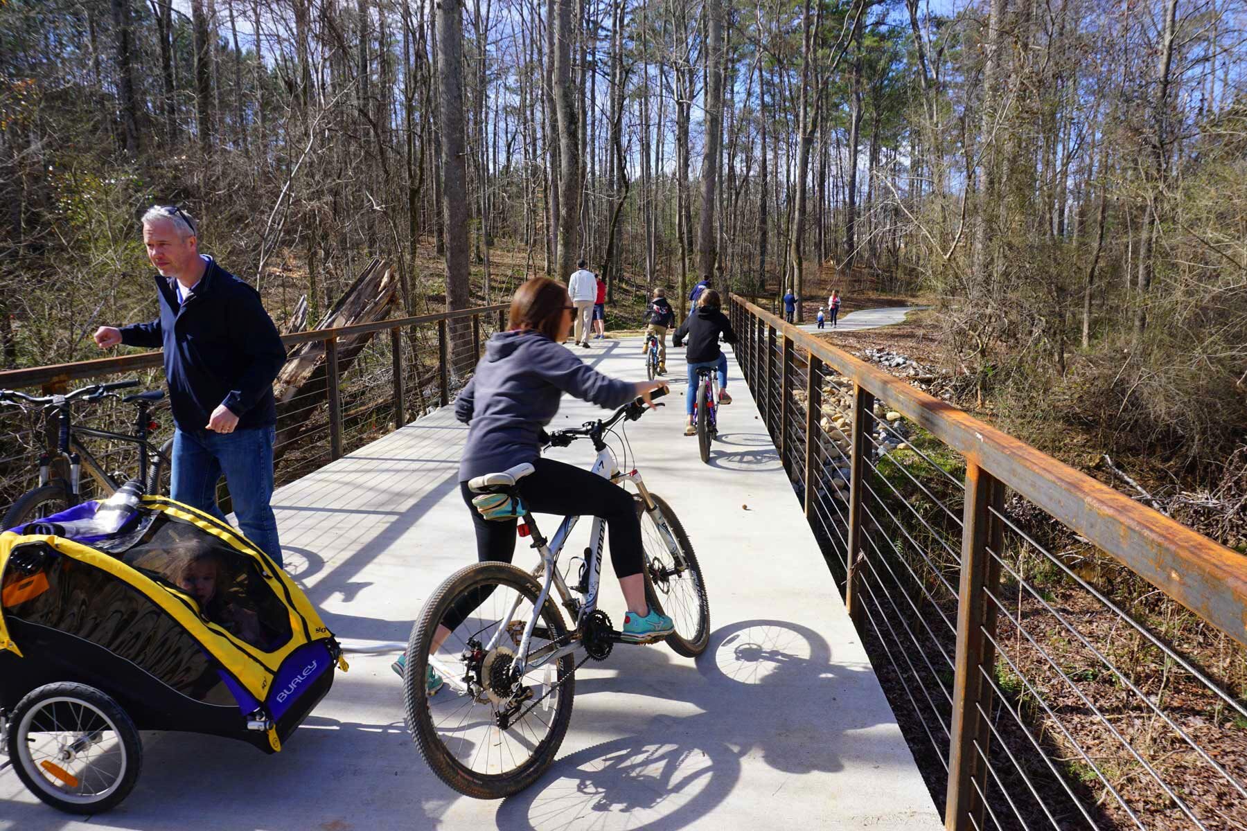
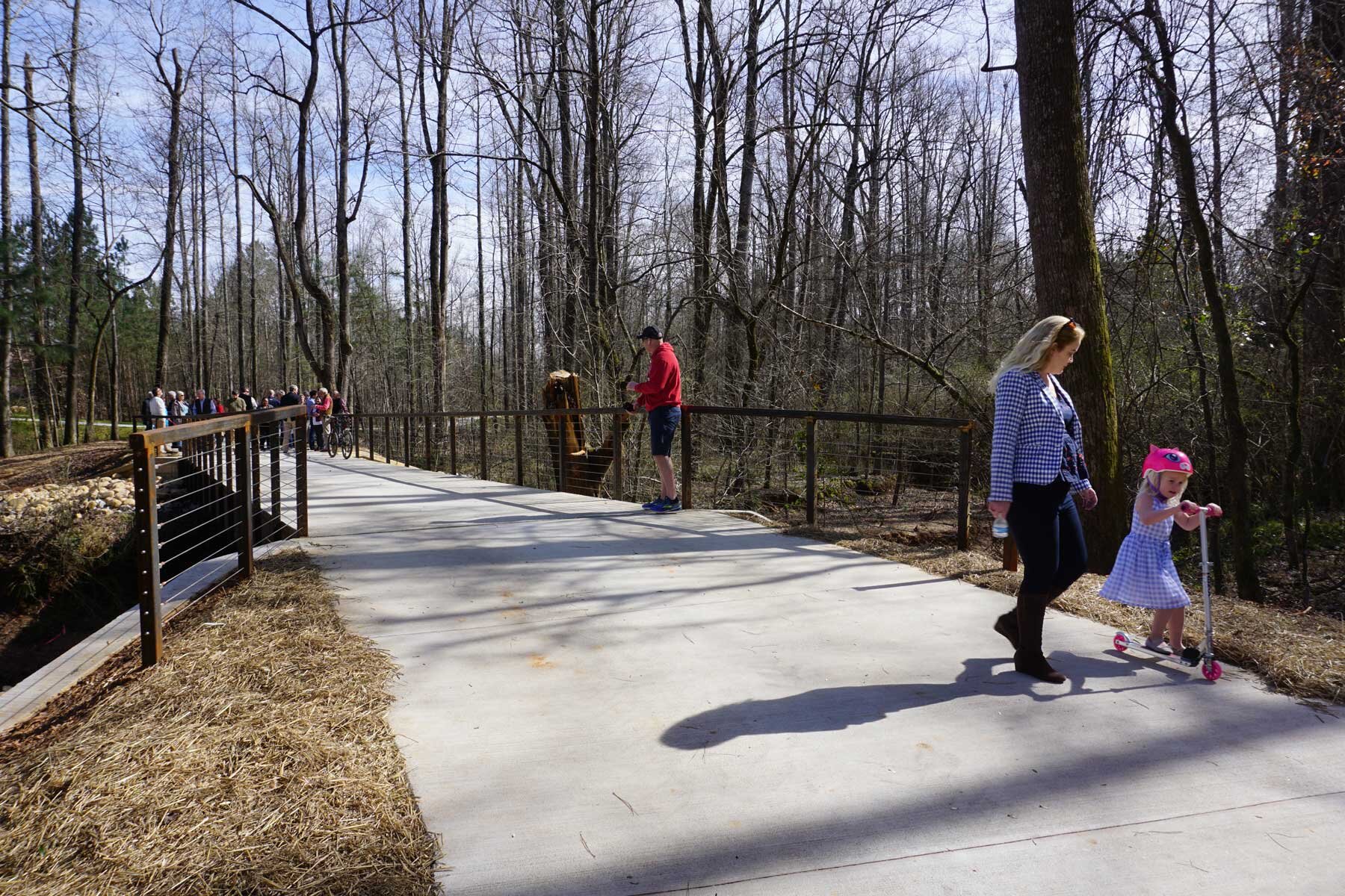
The first section of the proposed 25-mile multi-use LINC trail system is the connection from Newnan Crossing Boulevard to the Nixon Centre. The 1.9-mile project features an elevated trail structure, a box culvert underpass below Lower Fayetteville Road, a 50-foot span bridge, and multiple access points from adjacent roads/sidewalks and neighborhoods.
Beginning Date: December, 2016
Completion Date: September. 2017